12 TAMARACK RD
Owner Information
MACEDO HERIVELTO
12 TAMARACK RD
METHUEN, MA 01844-2847


Property Details
12 TAMARACK RD is classified as a Single Family Residential (Colonial).
The primary structure on this property was built in 1987. There are 6,348ft2 of built area within this property. There is 4,159ft2 of residential/living space within this property. This property is listed as having 11 rooms.
12 TAMARACK RD is valued at $517,600. The land is valued at $189,600 and the structures are valued at $325,200. There is an additional valuation of $2,800 on this property.
This property is in Zone RD. Confirm with local Zoning Board authorities to ensure there are no overlays or other easements on this property.
12 TAMARACK RD was last sold on Thursday, September 26, 2019 for $589,000.
Assessment data from fiscal year 2022.
Flood Data
According to the FEMA National Flood Hazard Layer, this property does not appear to be in a flood zone. It may also be in an area not yet reviewed. Nonetheless, confirm this information prior to taking any action.
To view the flood hazards around this property, create a FEMA "Firmette" Map of the area around 12 TAMARACK RD.
Broadband Internet Providers
| Provider | Type | Bandwidth (mbps) | |
|---|---|---|---|
| Comcast | Cable | 1000 | 35 |
| GCI Communication Corp. | Satellite | 0 | 0 |
| Verizon New England Inc. | Fiber | 940 | 880 |
| Viasat Inc | Satellite | 100 | 3 |
| HughesNet | Satellite | 25 | 3 |
| VSAT Systems, LLC. | Satellite | 2 | 1 |
Broadband service provider data from December 2020.
Adjacent Properties
- 10 WINDSOR ST
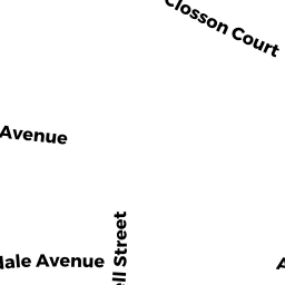
Single Family Residential owned by PERKINS ANDREA - 11 TAMARACK RD
Single Family Residential owned by MASOUD THOMAS J - 6 WINDSOR ST
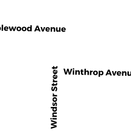
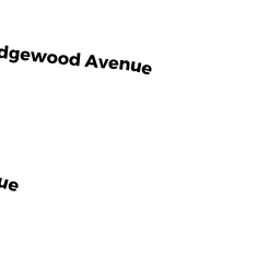
Single Family Residential owned by BUNN JONATHAN RYAN - 29 MAPLEWOOD AVE
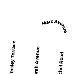
Single Family Residential owned by BRENNAN SUSAN A - VP WINTHROP AVE
Undevelopable Residential Land owned by NIZIAK JAMES J - 37 MAPLEWOOD AVE
Single Family Residential owned by HOWLEY ALLAN P - 35 MAPLEWOOD AVE
Single Family Residential owned by ST ONGE ROBERT A - 39 MAPLEWOOD AVE
Single Family Residential owned by AKROYD SCOTT A - 41 MAPLEWOOD AVE
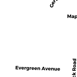
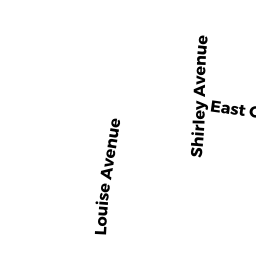
Single Family Residential owned by ABAJIAN ROBERT - 3 EVERGREEN AVE
Single Family Residential owned by KHOUNG HUNG - 7 EVERGREEN AVE
Single Family Residential owned by RUEDIGER RICHARD J - 11 EVERGREEN AVE
Single Family Residential owned by ARASI ANTHONY B - 1 CEDAR CIR
Single Family Residential owned by VOLQUEZ STARLIN